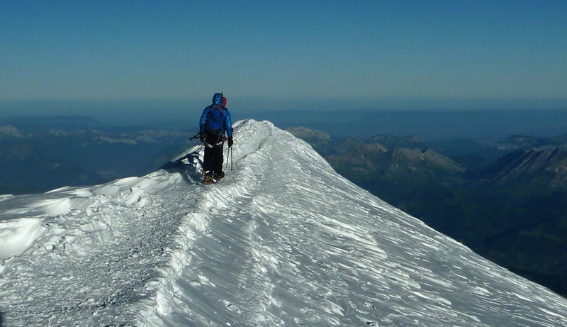
There is a constant debate among climbers about which mountain should be considered the highest point in Europe - Elbrus or Mont Blanc. But having visited both peaks, I can say that the route of climbing Mont Blanc, even along the classic route, is much more interesting and beautiful than climbing Elbrus along the route from the south. And although Elbrus is almost a kilometer higher, I would advise anyone who is interested in climbing to visit Mont Blanc.
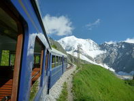
The classic Mont Blanc climbing route usually begins with a tram ride to Mont Blanc (Tramway du Mont Blanc, Tramway du Mont Blanc).
The tram route starts from Le Fayet station at an altitude of about 1000 meters, from which the tram rises to the terminus of Nid d'Aigle (Ni d'Aigle, Eagle's Nest) at an altitude of 2372 meters.
This article will describe the route of climbing Mont Blanc and all sorts of useful tips, and at this link you can find a story about my independent ascent of Mont Blanc with my thoughts and impressions of the ascent.
My express ascent of Mont Blanc
Initially, the ascent of Mont Blanc was planned not along the classic route through the Tete Rousse and Goutera shelters, but along the route from the Refuge des Cosmiques through the three peaks o...
But it is more convenient to get from Chamonix not to the lowest station of the Le Fayet tram, but to Bellevue Bellevue station. And from this station it is already going up to Nid d'Aigle.
To do this, take a regular bus from Chamonix to the village of Les Houches. Right next to the stop there is a cable car that will take you to the Bellevue tram station (from the cable car to the station you will need to walk about 150 meters along the signs).
The journey time by tram from Bellevue to the last station of Ni d'Aigle is about 20 minutes. During this time, the tram will travel along a winding path climbing up the edge of the cliff and through a couple of tunnels. More information about the tram to Mont Blanc can be found in this article.
Mont Blanc tram (Mont Blanc train) or how to get to the start of the classic Mont Blanc climbing route
The Mont Blanc Tramway (also known as the TMB) is one of the last cog railways in the mountains of France. Together with the Montenver train
From the Tramway du Mont Blanc terminus, trails begin to the Tête Rousse hut (Refuge de Tête Rousse) at an altitude of 3167 meters.
There are two route options here:

The first trail goes up almost immediately from the station, and first goes along the ridge, then goes out onto the old moraine and crosses it. Then the ascent goes along a rocky ridge with a constant climb all the way to Tet Rus. The trail is simple, but protracted with a constant climb. There is almost no snow on the trail.
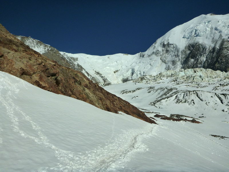
The second trail first goes without climbing towards the Bionassay glacier and passes through the Nid d'Aigle hut. There is a cafe where you can have a snack (the time from the tram station to the hut is ~ 15 minutes). Then the trail turns up the slope and runs along the edge of the Bionassey glacier and beautiful icefalls, and begins to climb along the old moraines and snowfields. But the main climb takes place already in front of the rocky ridge on which the Tet Rus shelter is located.
The second route option is more spectacular and beautiful, but the climb is sharper and steeper, and most of the trail passes through snowfields.
There is almost no water on the road, only at the very bottom or small streams from melted snow. And in general, the “waterless zone” begins further - snow, ice, in huts for a fee (5-7 euros for a 1.5 liter bottle)...
The journey time from the tram to Tet Rus is about 2 hours.
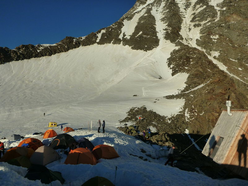
The Tet Rus Shelter itself is located on the edge of the Tet Rus glacier, located on an almost flat plateau. The place is quite windy and not very cozy. You can't get water in the shelter, even in the toilet, you can only buy 5 euros for a 1.5liter bottle. But there is one “life hack” - the water in the toilet is turned on in the evening so that those who spend the night in the shelter can wash. That is, at about 8 pm there is an opportunity to collect water in the toilet of the shelter. A place in the shelter must be booked in advance due to the large number of people. The Tet Rus Shelter was renovated in 2003 and can accommodate up to 72 people. You can put up a tent on the plateau near the shelter. During the season, there are many tents for those who plan to climb Mont Blanc. Above this place, the installation of tents is prohibited, so everyone who decided not to spend the night in shelters, for whatever reason, is forced to start climbing from here.
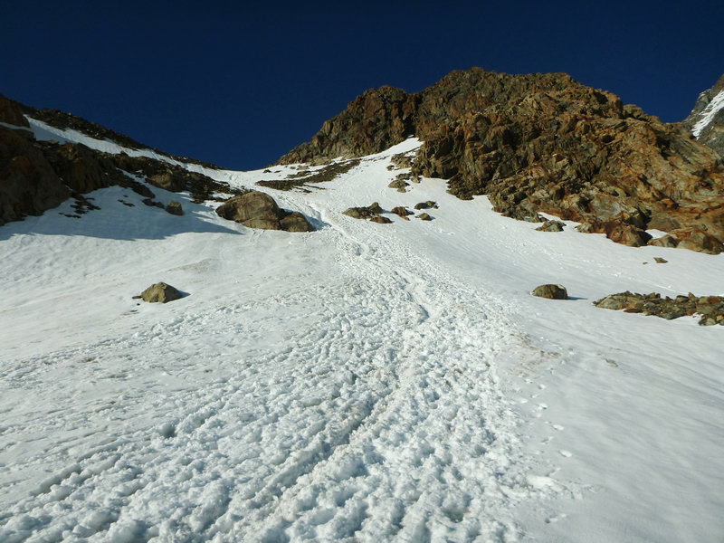
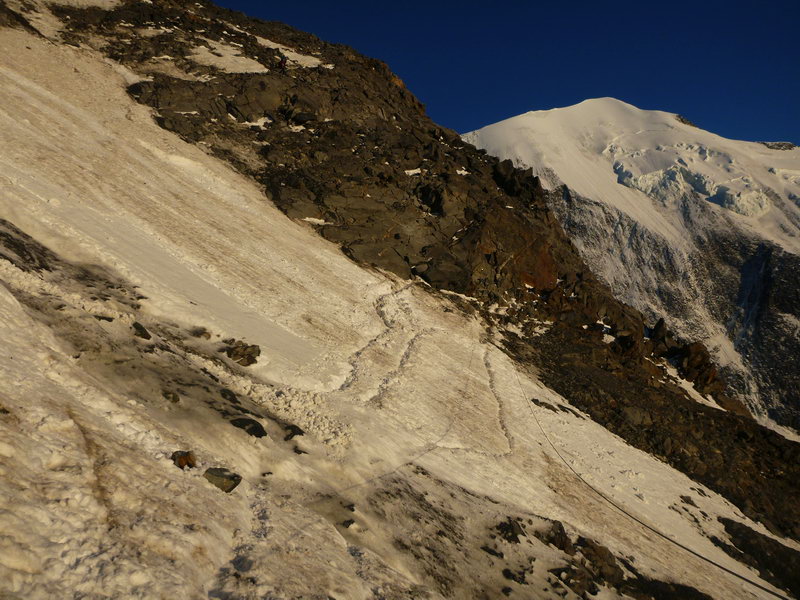
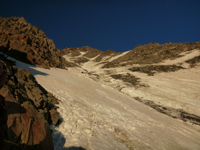
Immediately from the Tet Rus shelter, the path to the Gutera shelter begins. First, the trail passes through the Tet Rus glacier and begins to climb the snowfield, and reaching the rocks crosses the Grand Couloir. This is the riskiest part of the route. The couloir is 50-70 meters wide, over which stones and pieces of ice are constantly falling. In addition, there is a stream in the middle of the couloir, which you need to cross. It may be ice or frozen snow porridge, or it may not be frozen... The couloir is located on the western slope, so stones fall especially often in the evening. But even in the morning, crossing the couloir is an exciting business. Still, according to all recommendations, it is better to take it in the morning, while it is not illuminated by the sun.
A steel cable is stretched across the Grand Couloir for insurance, but it is of little use, since it is stretched a couple of meters above the ground.
Cats are required for the transition and a helmet is very desirable, of course it will not save you from a large stone, but it will help you from ice fragments and small pebbles.
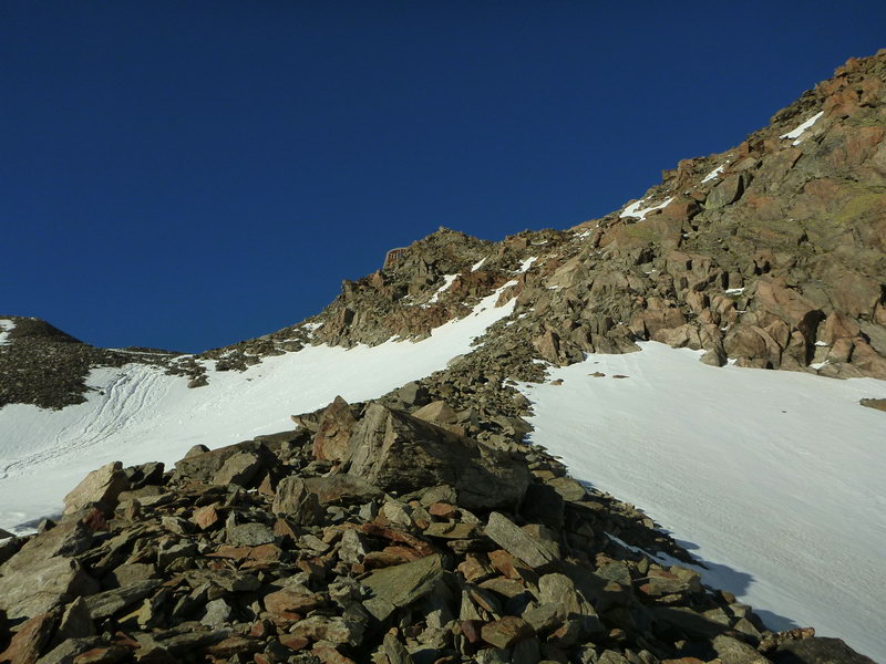
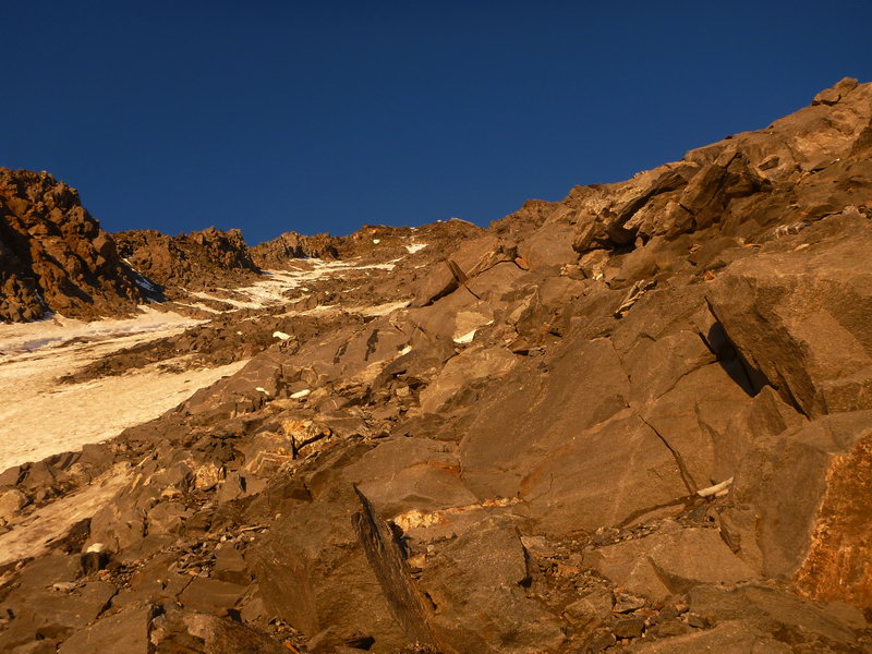
Immediately after the couloir, the trail goes out onto the rocks. More precisely, the ruins of huge boulders that you need to climb up. Moreover, most local (or rather European) climbers climb in cats even if the stones are absolutely dry without snow and ice. In some places, steel cables are hung for safety.
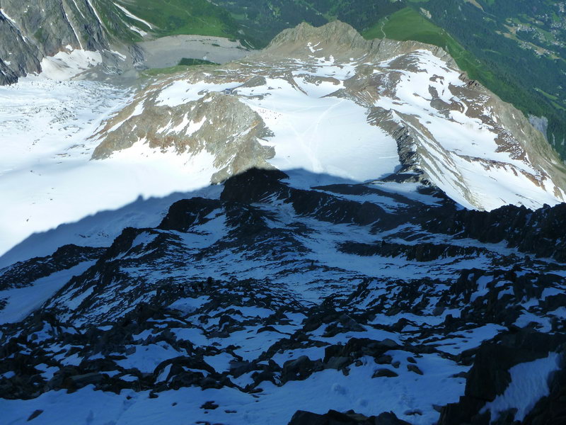
After the first steep section with large boulders, the trail goes out onto a small ridge going up and winds along it among rocks and fragments of stones. Periodically, you have to climb over the cobblestones.
Closer to the top, the ridge becomes steeper, suspended steel cables and fragments of stairs begin in particularly steep areas.
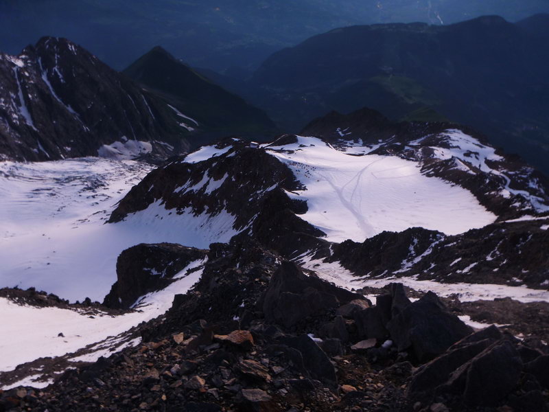
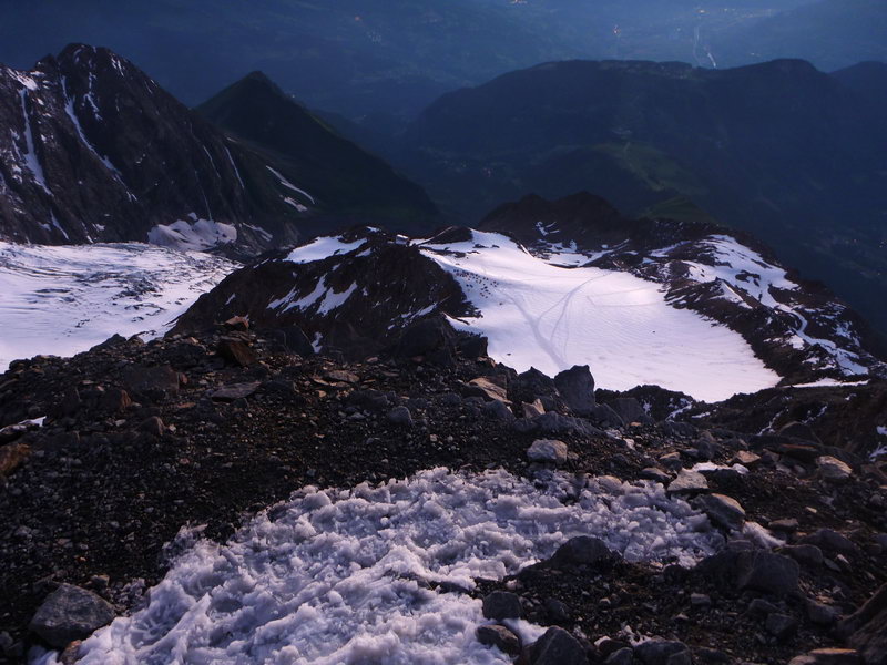
Eventually, the ridge opens onto the huge snowy plateau of the Taconnaz glacier.
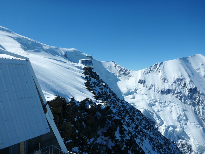
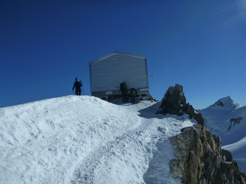
The climbing path leads to some buildings (perhaps old or future shelters or some kind of household. buildings) covered with snow up to the roof. From these buildings, you need to climb a little more through the snow to a small ridge and walk along the ridge to the hut of Gutera (Gute, Gutera), which is stuck on the rocks right above the cliff at an altitude of 3835m.
The climb from the Tet Rus Shelter to the Gutera Shelter takes about 3 hours. Technically simple, but quite tedious, since almost all the time you need to jump and climb over rocks.
The hut itself is a three or four-storey cylindrical building, sheathed in metal. On the ground floor there is a locker room in which everyone leaves their cats, shoes and other gear. A staircase leads to the upper floors where there is a cafe and living rooms.
During the season, you need to book places in advance in the hut of Gutera, otherwise there is a high chance that there will be no places…
All the work of the hut is focused on climbers. Starting at 2 a.m., those who spent the night at the Hutera shelter go out to climb. In the period from 2 to 3 a.m., even the cafe is open. The process of the great exodus of the ascenders continues until the morning. By about 3 a.m., those who started from the Tet Rus shelter at 12 a.m. begin to approach, they go into the hut to rest and warm up a little.
The Mont Blanc climbing route starts right from the door of the hut of Gutera. A well-trodden snow track rises to the glacier for the first few tens of meters. After reaching the glacier plane, the trail goes along the edge of the cliff, bypassing snow puffs.
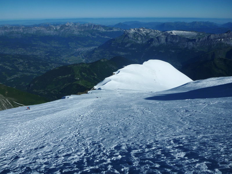
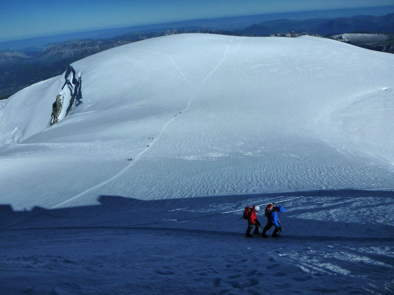
Then the trail descends a little and starts climbing again, but already on the surface of the glacier. There are huge closed cracks in the central part of the glacier, so the trail goes around - on the right side (if you look up). The route goes in the direction of the Dom du Gouter peak, but the peak is dimly defined and almost merges with the general relief of the ridge on which it is located. After crossing the ridge, you need to go down a little to the Col Du Dome saddle, where the route through Grand Mulet is suitable. From the saddle, the trail approaches the Vallo hut (height 4,300 m).
The most interesting and beautiful part of the Mont Blanc climbing route begins from the Vallaud hut.
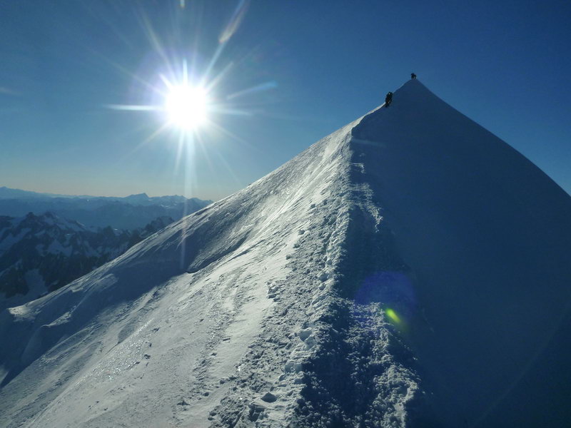
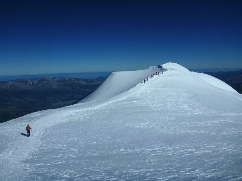
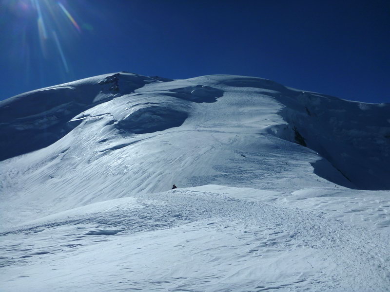
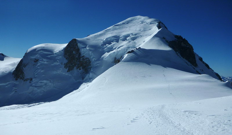
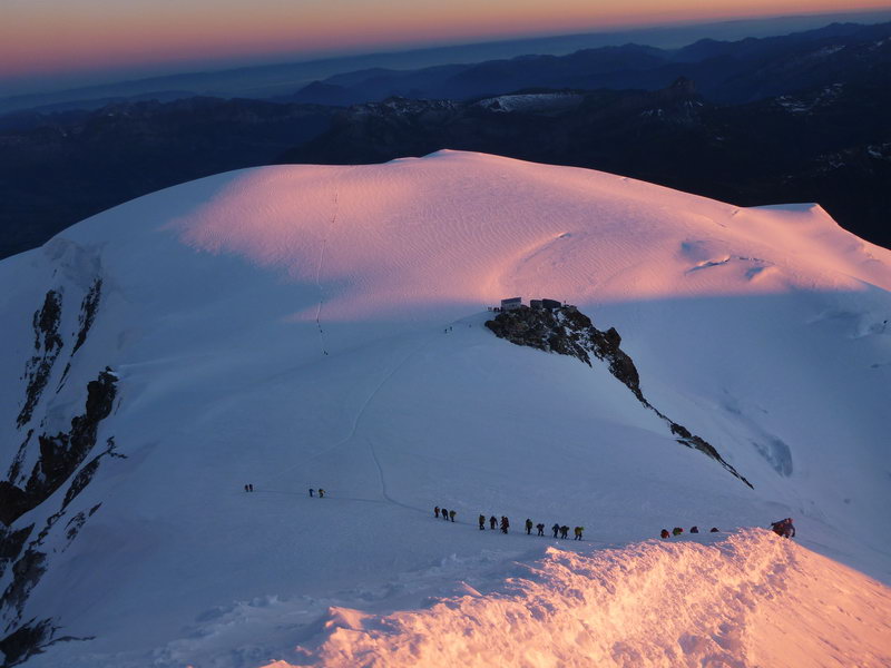
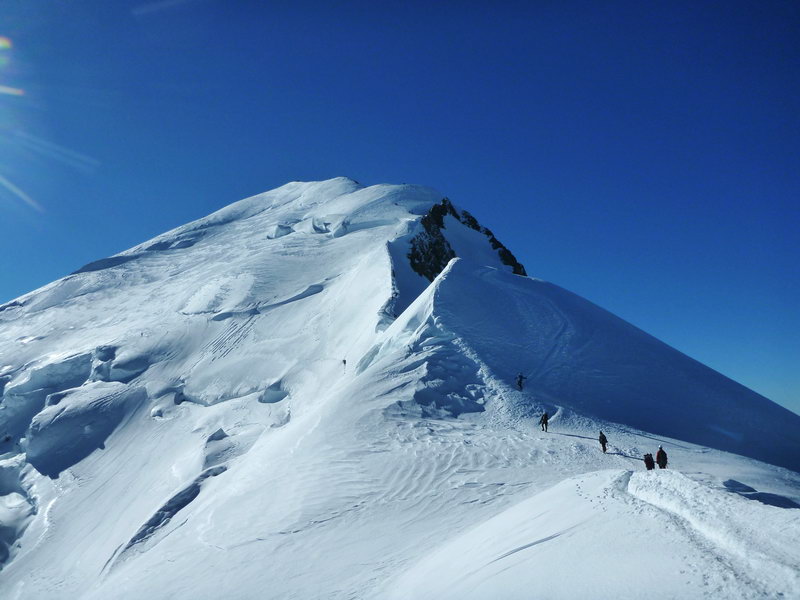
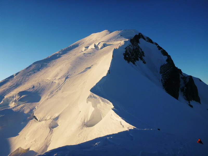
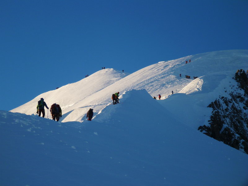
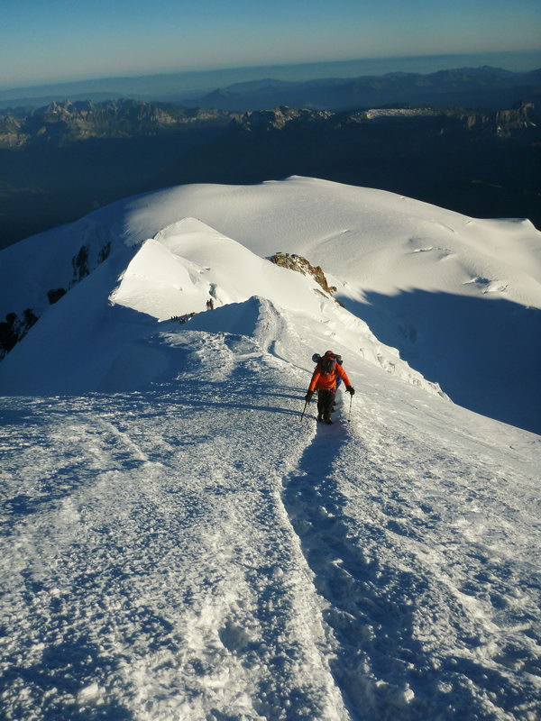
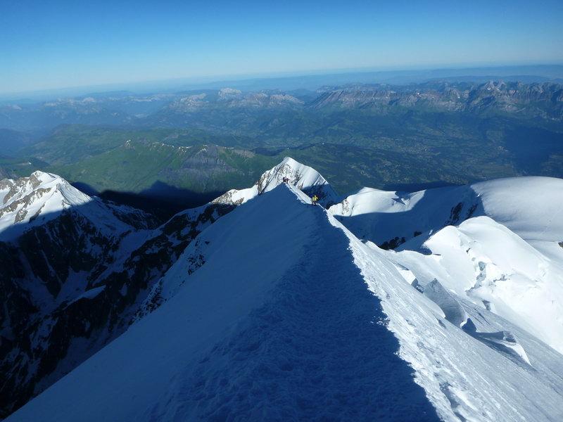
The trail opens onto a ridge, which gradually narrows. On the very crest of the ridge there are many snow puffs of bizarre shape. In the rays of the rising sun, the ridge and the inflations look very harsh and beautiful. The ascent along the ridge has several rather steep, but short sections, which alternate with more gentle ones.
Very often, a strong wind blows on the ridge, which complicates the ascent, the wind carries snow chips that cut the face, but it actually creates beautiful snow puffs.
The route runs right along the border between France and Italy. In the direction of Italy, the ridge breaks off with rocky discharges of a kilometer height. On the other hand, towards France, the slope is hidden by a glacier with many cracks and syracuse.
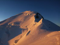
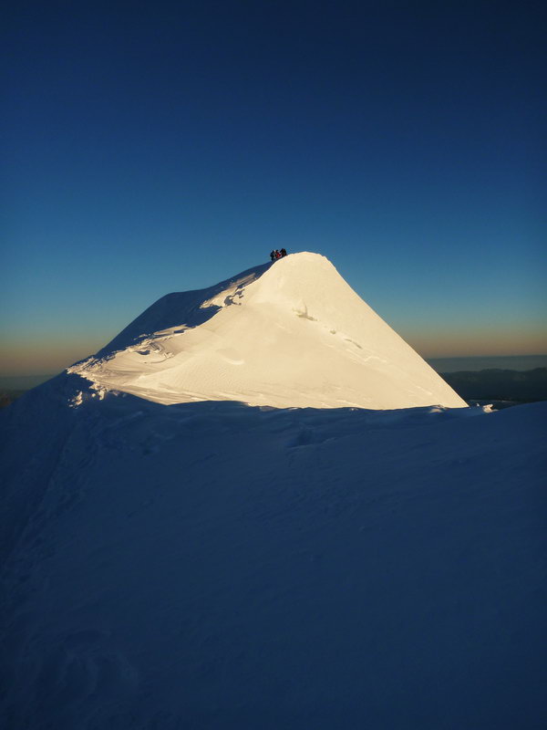
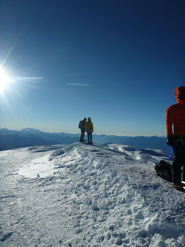
Just before the top, the ridge widens slightly and reaches the highest point of Mont Blanc 4809 meters. The peak is a wide snowy ridge.
The time to climb from the hut of Gutera to the top of Mont Blanc is approximately 4.5 - 6 hours. The descent from the top to the hut on the way up takes 2-3 hours.
After the hut of Gutera, the descent continues along the ascent path to the hut of Tet Rus. First along the rocky ridge with the crossing of the Grand Couloir and then along the Tete Rus glacier to the Tete Rus hut.
From the Tet Rus hut, follow one of two trails to the tram station.
