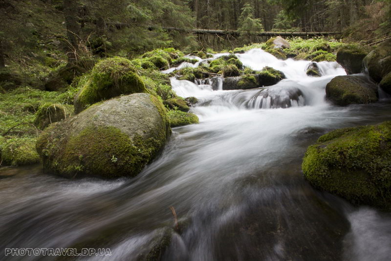
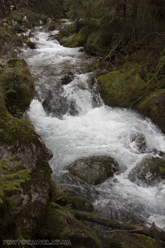
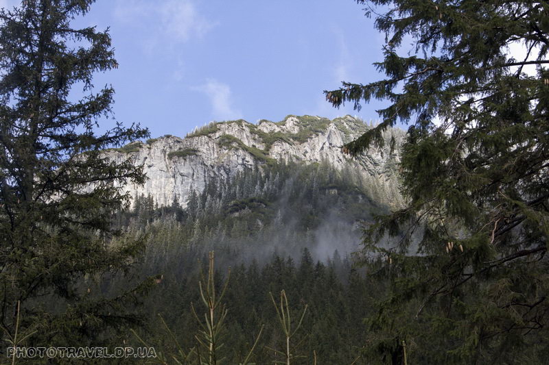
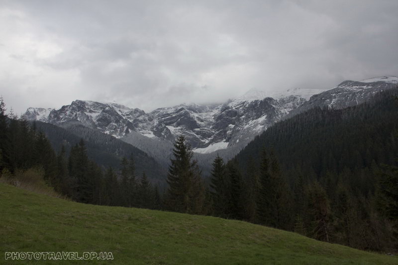
The Koscielska Valley is located in Poland and is very popular. And there is something for it – it is not difficult to pass, it is very picturesque, with peaks and lakes, a canyon, and four of the five caves of the Tatras open to the public.
I'll make a reservation in advance, it's worth setting aside the whole day to visit this valley if you want to see the most. But if you don't have that time, then you can just walk back and forth through the valley in 3 hours.
So let's briefly walk along the route that we have planned for ourselves: Kosceliska Valley – Mrozna cave – descent into the valley – Raptavitska cave – Mylna cave – Ornak hiding place – Smrechinski Stav lake – descent through the valley with a visit to the canyon Inside Krakow.
And so the long-awaited morning came, but it was overshadowed by rain outside the window, while we were having breakfast and getting ready, the rain smoothly turned into snow, which immediately melted. Deciding that snow is better than rain, we went to the bus station. Minibuses to Kira depart from the parking lot across the street from the bus station building. Loaded into the bus. Meanwhile, the snow does not think to stop, seeing a car with 3-4cm. Snow is the first thought, it came from somewhere above... But no, we literally drove 2-3 km. and everything is already covered with snow. And here are the Kira and the entrance to the Koscelisk valley.
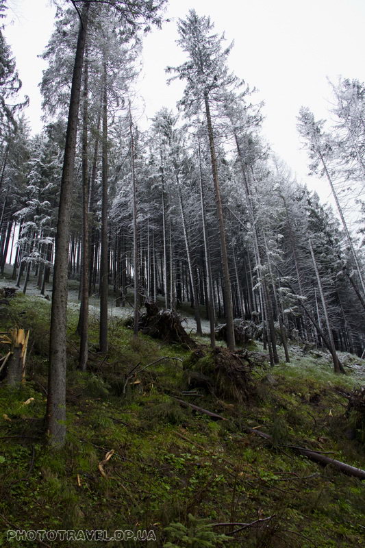
At the entrance of the shop where we stopped to throw backpacks on our shoulders and button up our jackets, and a booth of the Tatran National Park with an employee. You can buy cards at the booth and pay for admission. A good card costs 12 zlotys, which is more expensive than at the information center near the bus station (10 zlotys), but cheaper than at Krupovka. The entrance to the park is now 5 zlotys, preferential – 2.5 zlotys. So if you have pensioners in your company, advise them to present a pension and pass it cheaper. There is a 7-day subscription that costs 25 zlotys.
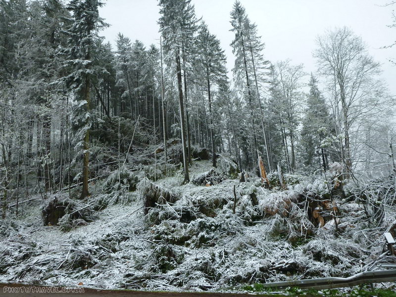
Literally 20 minutes later, or even faster, we came to the bridge and the fork, two routes start from here, black and red, but they do not interest us yet. Beyond the bridge, the continuation of the black route is closed due to fallen trees (and not just fallen, but uprooted, most likely by another hurricane).
And everything is dusted with snow and there is no one, because it's only the beginning of the ninth. It doesn't seem early, but as we will see later, people flock to this valley much later... or maybe the weather just scared me.
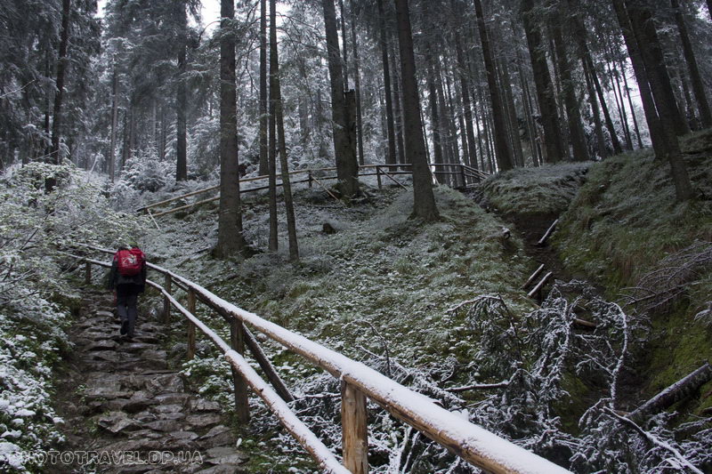
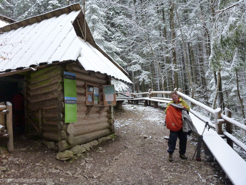
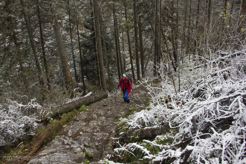
Another 15 minutes and we are at the next fork, the route to the Mrozna cave begins to the left. This is an equipped cave, I mean, it has lighting and there is a cash register and a caretaker. And we are going to this cave now. Immediately from the gentle road along the Koscielny Valley, a rather steep path with a black marker goes up. In some places, the trail consists of stone steps. The distance to the cave is small, but climbing will help you feel much warmer, if not to say that you will be hot.
There is a ticket office at the entrance to the cave and you are given 25 minutes of illuminated time to walk through the cave. The Mrozna cave is through and you will exit in a completely different place, from where you can descend into the valley.
If you visit the cave when there are more people, then most likely the time will be much more than 25 minutes, because the next and next people will follow you, but when we came in, no one else was even expected.
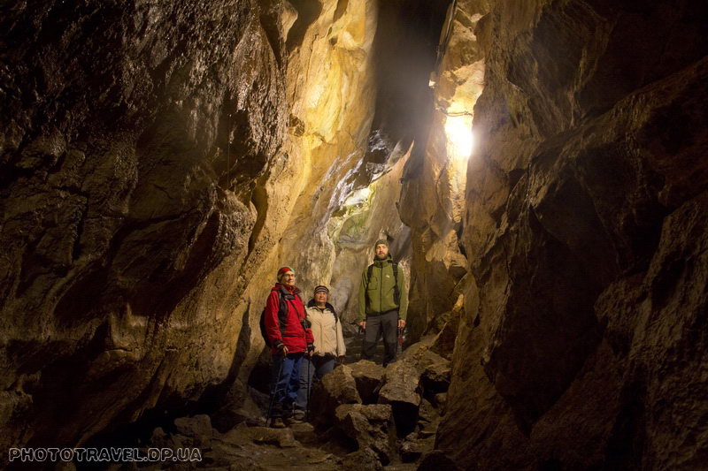
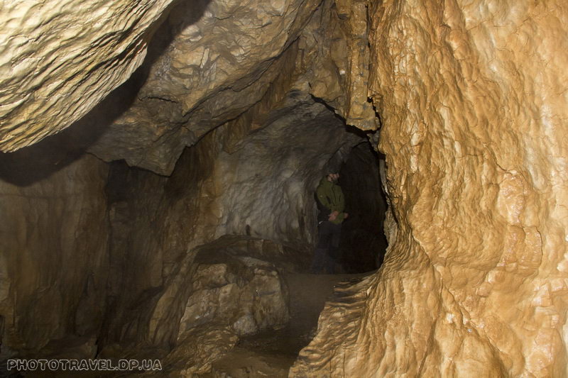
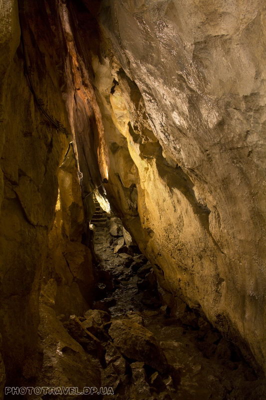
And here is the cave – having visited many unequipped and equipped caves and having known their beauty, I can say that you should not go here for the most beautiful deposits and crystals, but this cave, which is not very large in its essence, will still bring many warm and beautiful moments to your journey.
Narrowness and low places are quite common in the cave, in some places you will need to remember how it is to squat. And of course, if you want beautiful shots, then shoot without a flash, but from a tripod – and you will be happy!
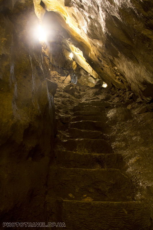
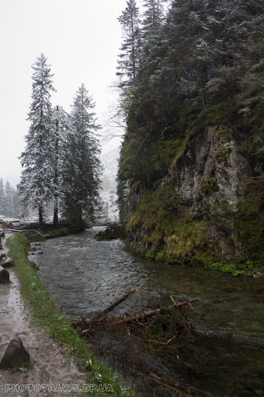
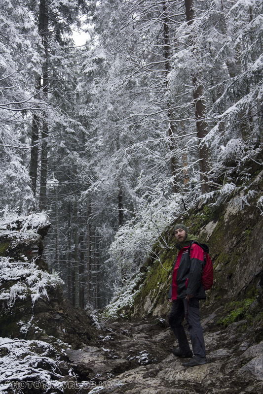
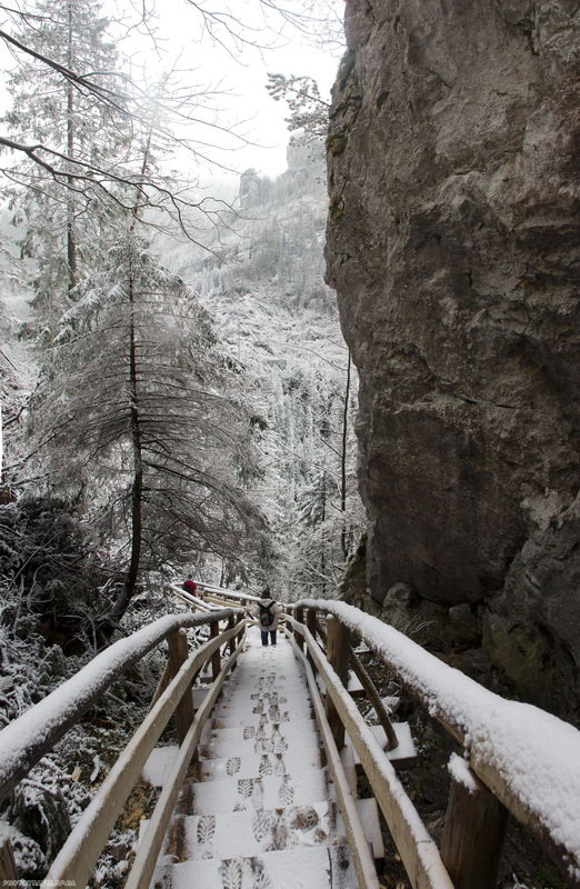
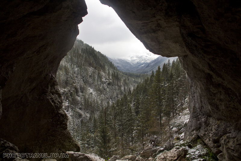
The exit from the cave appeared unexpectedly and hid behind a massive iron door. And behind it, we were greeted by trees in the snow and a descent down a beautiful wooden staircase winding along the slopes. 15 minutes of descent and we are back in the Koscelisky valley. The snow has already stopped falling, there are glimpses of blue sky in the sky – the weather is getting better.
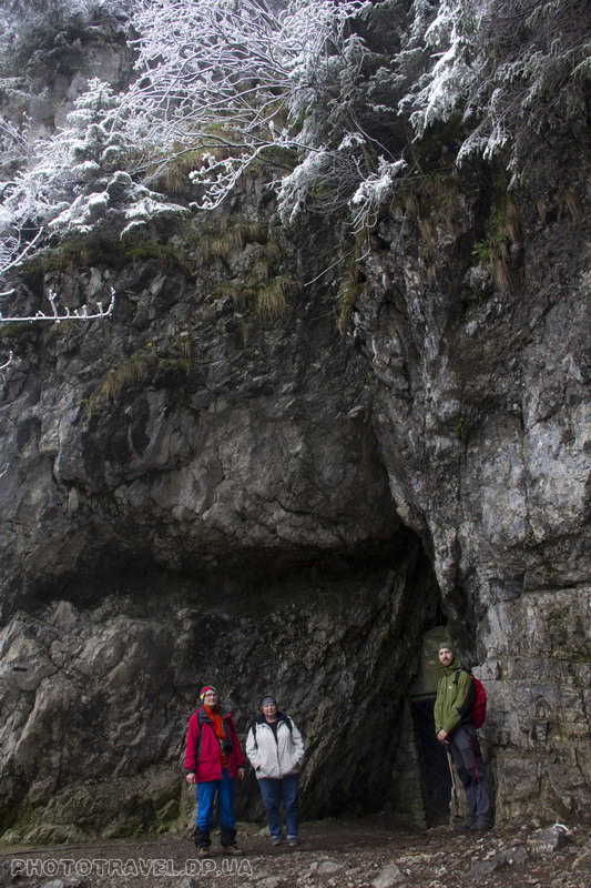
After walking through the valley for another 15 minutes, we go out into a clearing with benches and the yellow route goes away from it, or rather its end comes, because this is the exit from the route along the Wonvuz Krakow canyon, this route is one-way and we decided to go there on the descent.
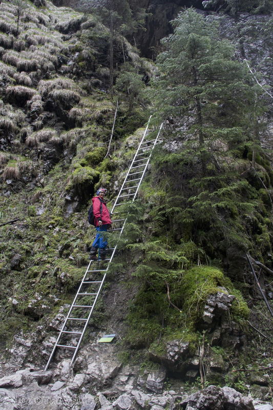
Then solid bridges begin, another red route came from the right – this is the descent from the Mylnaya cave and it is also one-way. After walking a little further, we reach the fork where the routes to the caves of Mylna and Raptavitska begin, one red and the other black. They start together with a steep climb, and chains meet in some places.
And now, having climbed onto another ledge, there is a fork. To the right to the Raptvitska cave and to the left to the Soapy one. And don't forget neither the Raptavitskaya cave nor the Mylna cave are illuminated and you should take a good flashlight with a supply of batteries, preferably a headlamp, it will be much more convenient. At that moment, we didn't know what was where yet. And you have to go to the right to the Raptvitska cave – this is still an ascent, and then a descent into the cave – this exit is radial and after visiting the cave you will return to the same fork, but then it's worth going to the Mylna cave. We didn't know these subtleties and went straight to the Soap Shop. Again, a small climb, a traverse, and here we are at the cave – there is a sign indicating that we were not mistaken...
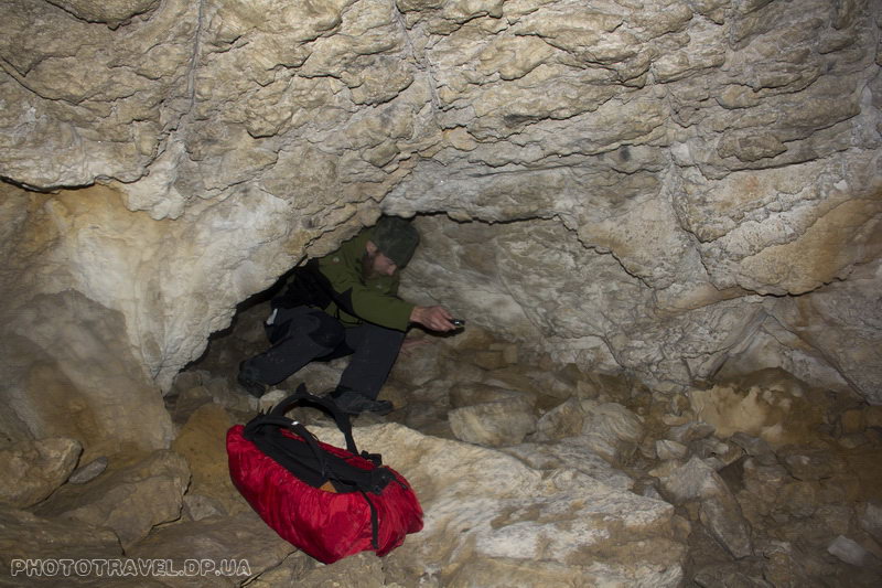
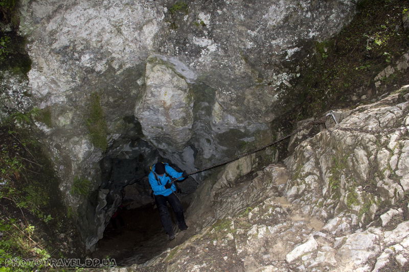
The cave is low and we start walking / crawling along the markers, since the cave has a one-way route, we start using the arrow. A couple of minutes and we go around back to the start. And the cave should be about 350 meters... We read the description found on the Internet – there is such a line "Sometimes the course of the cave does not lead in the most obvious way." So we will push away from this – let's go again! And what would you think there is a marker with an arrow pointing down at some suspiciously low hole. Well, that means there, I climb, the ceiling rises, there are markers and then – great. The cave consists of a number of passages, branches, halls. There are a lot more of them than it seems at first. But it is worth warning to go only by markers, if you want to go into a side passage to see where you came from and how to get out. There are many side marked moves, if in addition to the usual marker you also see a round one, then this is definitely a back/forth move. Also, the side passages are marked with triangular markers. In fact, I think this cave has much more than two entrances/exits, but they can lead to steep cliffs or wells along the way, and you are without equipment and a cave map, so it's better not to. There are many narrow holes in the cave and many places where there is water, maybe in August there is none, but in May there was – so you will have to get dirty. As soon as you come to the place with the chains, you count the last 20-30 meters left at the exit. At the exit there is a small platform and steeply descending stone steps. As a conclusion, it is worth saying that do not go into this cave with large backpacks and even a small backpack can be a hindrance, but it is easier with it ;)
If someone decides to thoroughly explore this cave, I advise you to read this article before visiting http://www.geocaching.com/geocache/GC2E829_jaskinia-mylna-mylna-cave ?guid=c31f0aa6-7411-4268-9998-245b54e0c755
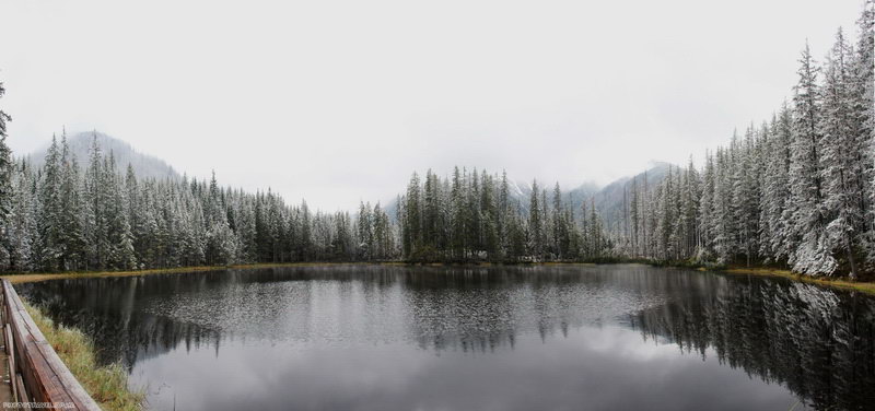
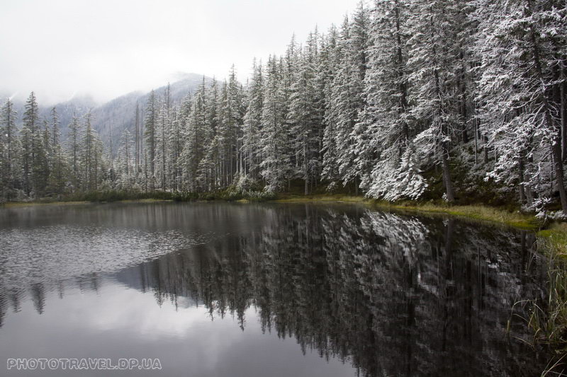
In general, we found ourselves again in the Koscelisky valley and this time we reached the Ornak hiding place in half an hour. The Ornak cache is located in a large clearing, right in front of the road to it there is a fork to the Smerchinsky stave and to the Tomanov Valley. On the glade itself, tables, benches in the cache are free boiling water or paid tea / coffee / food. We had lunch and tea with us and decided to have a snack. It was still very early and it didn't make sense to go downhill, and I wanted to look at Smerchinsky stav. Smerchinsky stav is a small lake at an altitude of 1227 meters. The path to it from the hiding place takes about 30 minutes of a slow step. Next to the lake there is a wooden platform with benches and a fence. That is, look at the lake, but you can't walk around – it's still a national park. The lake is beautiful, especially framed by tall fir trees, and we also had them with snow.
Coming down from the lake, we came across the first big excursion – 40-50 people, how glad we were that we managed to go to the lake not in such a crowd, and then we constantly met people and in large numbers. Apparently, the sun came out and sent them to the mountains. Or maybe it's just customary to get up late here. In any case, the sooner you get on the route, the fewer people you will see, and the more nature you will see.
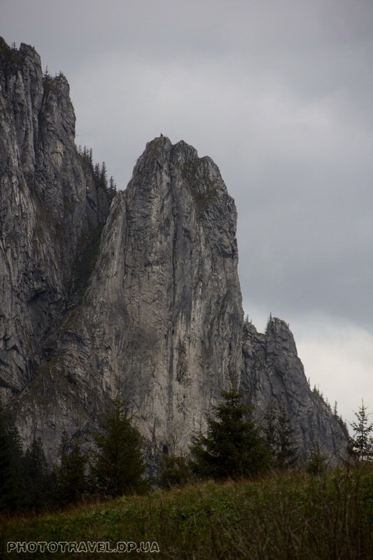
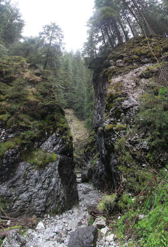
The descent down the valley from the Ornak hiding place takes just over an hour and is absolutely unhurried and easy. But if you want a variety, then you should go to the canyon of Vovuz Krakow (Wawoz Krakow), which we did. As soon as you move away from the central road along the trail, you will literally immediately find yourself in a narrow passage between stone walls. The canyon makes small loops and soon widens. Here the trail ends with a sign that it is life–threatening to go further - I think this is due to both rockfalls and avalanches in winter.
Before reaching the sign, you will see a staircase to the top – that's where you need to go. We take the stairs to the entrance to the Cmocza Jama (Cmocza Jama) – this is such a small through cave. At first it is hollow, and then steeply upward, holding on to the chain, you can get further along the route. But be careful on the rise, the clay is slippery and if it has recently rained, you can get smeared up to your ears by falling. Another option starts there and goes along the rocks, first we climb higher along the brackets, and then even higher, but already sticking to the chains. The second option is no less interesting and if you want, you can go through both of them.
And so we climbed out onto the wall of the canyon and then went down a gentle path again into the Koscelisk valley. On the way there will be a clearing with raspberry thickets. Probably in late summer there are a lot of berries here – but we saw only the first leaves breaking through.
There is very little time left before leaving the valley, but there is still time, and we decide to follow the black route that runs along the entire main ridge, and then turn off it and exit into Maly Laki. The fork to this route will be right after Welki Polana. We go along the route to the right and smoothly begin the ascent to the Mietusi pass (1187m.). Along the route there are many broken and uprooted trees. From the pass, the path through the dark, humid forest goes into the valley of Maly Laki and descends to the highway.
We didn't know how often minibuses run in Zakopane, so we just went ahead and got to the bus stop 10 minutes later. And there, to our great pleasure, an unmarked minibus took us to Krupovka for 3 zlotys. As it turned out, in the evening, a lot of beads and taxis leave the Koscelisky Valley, and most of them are not scheduled – although the price is the same.
In conclusion, I would like to say that this is a great route to start, to warm up and not strain too much, and it's just a very beautiful valley and it's worth a visit.
How to get there: from Krakow by bus to Zakopane, the cost is 20-50 zlotych, and then by minibus (cost 15-20 zlotych) to the village of Kira (Kiry), although on all minibuses you will see the inscription Koscieliska dolina.
Coordinates of the entrance to the valley: 49.275433, 19.868792
Other tracks on the Polish Tatras:
Orla Perć (Eagle Path) - the most difficuilt route in High Tatras
So it happens that this weekend we were in the Tatras mountains - in fact it was a meeting for training, before climbing Lenin Peak.
And additionally friends from different countries decide...
